Meet the Meteorologist
What's your favorite weather phenomena?
What got you interested in the weather?
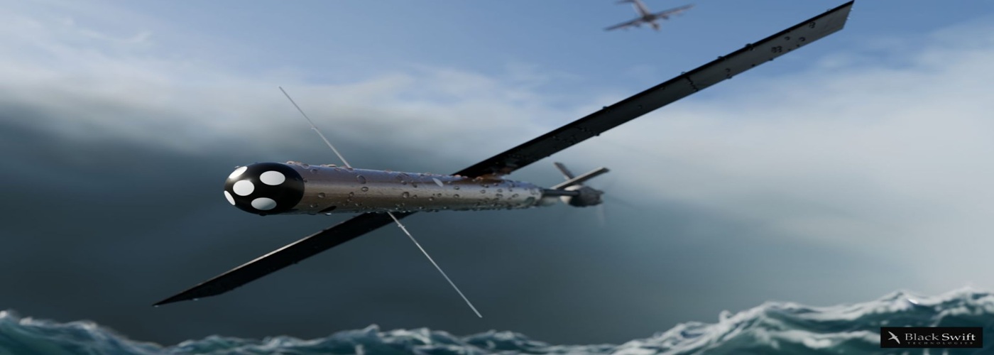

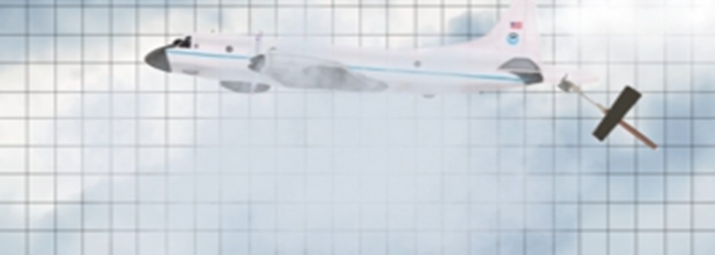
You may have heard of the Hurricane Hunters who fly through the storms to gather weather data. Now there’s another tool that scientists can utilize to get even more data to help forecasters when a big storm is overhead.
During Hurricane Lala, scientists were able to deploy two different drones at the same time that flew at varying altitudes. The drones also flew during a manned Hurricane Hunters flight. When the drones were deployed, they were flown in two distinct modes to get the best insight into Hurricane Lala.
This was the first operation of its kind during a hurricane. The multiple views of the storms allowed meteorologists to get a three dimensional view of the storm. It highlighted how the dynamics of the storm changed from higher altitudes to the ocean surface and showed a better view of the hurricane’s structure.
The sensors on the drones were able to collect data including air pressure, temperature, relative humidity, wind speed, wind direction, turbulence, sea surface temperature and wave height.
Also by flying near the Hurricane Hunters aircraft, this allowed for the drones to transmit a large amount of data. It can also help the aircraft pilots to plan strategic flyovers which can not only validate data received but also helps to bring in even more data.
This flight also marked a record breaking duration for the flights as the drones ran for 132 minutes during their flight into Hurricane Lala.
The data from the drones was then sent to the National Hurricane Center. The hope is that this data will eventually be used in forecast models as another tool when keeping eyes on the storm.
 Paul Trambley
 Derek Heit
 Jennifer Wojcicki
 Laura Lockwood
 Ray Miller